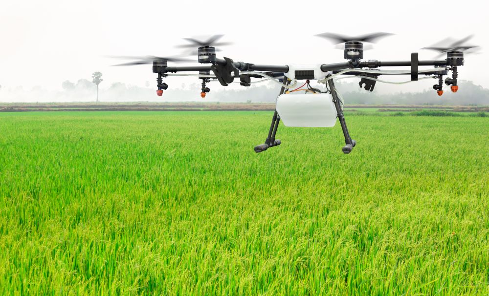
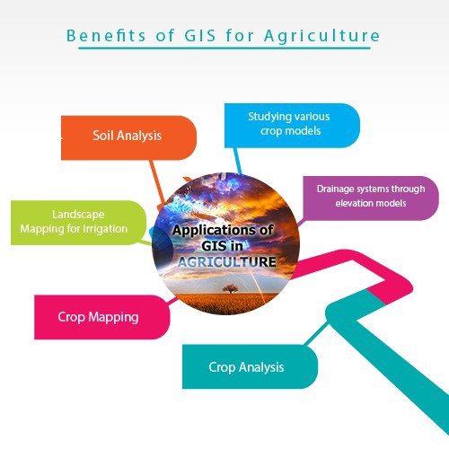
Geographic Information Systems (GIS) for Agriculture is a comprehensive overview of technology available for implementation in precision agriculture. Students will be introduced to basic terminology and concepts of GIS and Remote Sensing (RS) software programs and participate in applying those concepts and programs as they pertain to the agricultural industry. Students will learn Global Positioning Systems (GPS), remote sensors, satellite data, soil sampling, Unmanned Aerial Support (UAS) and yield monitoring for crop planning, chemical applications, and harvesting. Students will also use GIS/RS software to help mitigate challenges in economics/supply chains, natural resource management, and wildlife conservation using spatial analysis.